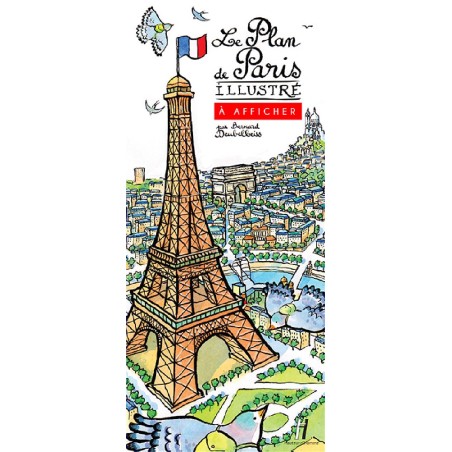


This cartographic representation of 21st-century Paris is extremely precise. Streets, city blocks, monuments and metro stations are rigorously represented in their proper places.
This Illustrated Paris Map is a graphic performance designed by Bernard Deubelbeiss, an illustrator born in Clermont-Ferrand. On the map, Bernard Deubelbeiss has hidden a whale in the Seine, a fox on rue du renard and many other little things to discover.
Folded format: 25cm X 11cm
Open: 100 X 130 cm
Printed on special crease-resistant paper, the plan can be pinned directly to the wall.
Creases can be further smoothed out with a moderately hot iron applied to a cloth on the back of the plan.
The plan can also be flattened by gluing to a rigid backing.
You might also like